


The whole city.
One live model.
New York’s real buildings, every lot and its public record, in one 3D model that you, your client and the planner work in together.
Pick your seat.
Then try it on New York.
The same model opens differently for each job. Each role has a two-minute run through the live demo: you do the steps yourself, on the real city.
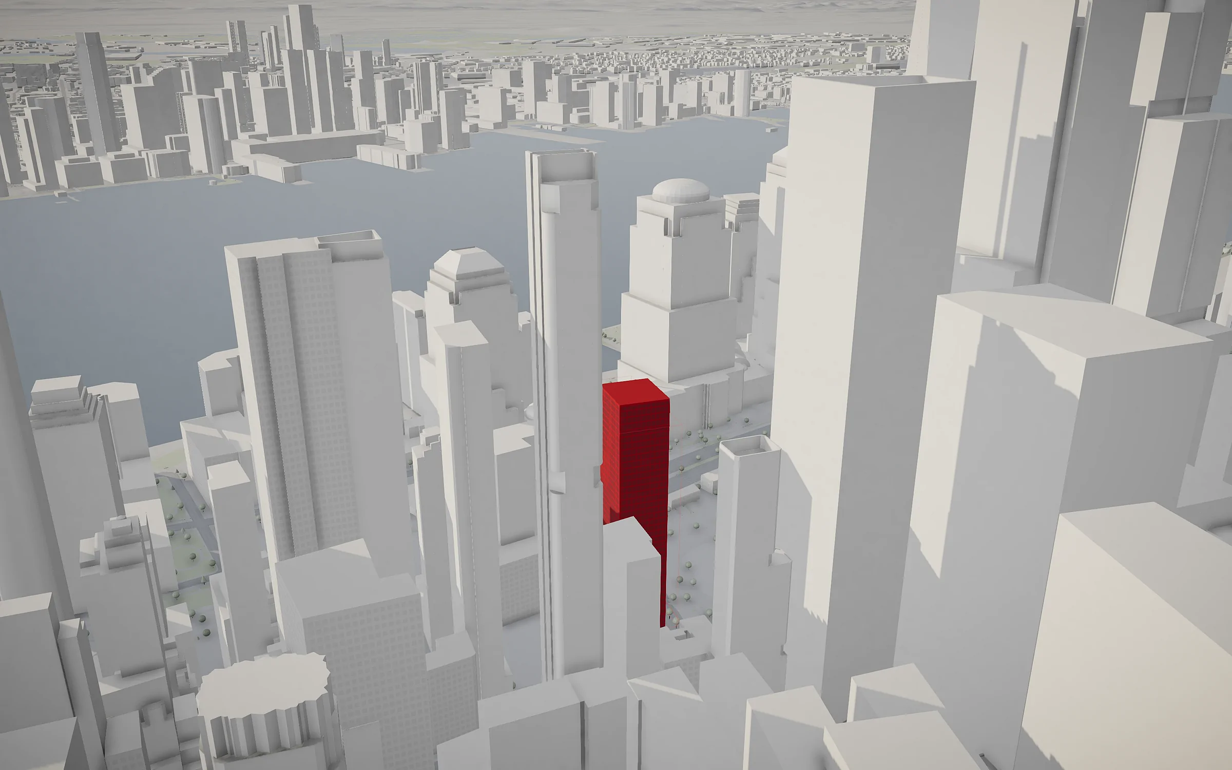
Find the lot. Know if it pencils.
Test what fits on a site before you pay for drawings, and walk your capital partner through it on the real block.
- Pick a lotIts zoning, size and assessed value come with it.
- Mass a towerTypology, floors, podium and setbacks, checked against the zoning.
- Read the numbersHomes, floor area, yield on cost and residual land value.
- Stand on a floorSee the view you will be selling.
The real city, not a basemap.
Every building comes from open data (the city’s own, OpenStreetMap and Overture Maps); the core of New York is modelled by hand. Each figure on the model says where it came from and how sure it is.
- 3,094
- buildings in New York modelled by hand
- 2.2M
- buildings across the five boroughs and their neighbours, Newark to White Plains
- 20,926
- tax lots, each with its zoning and public record
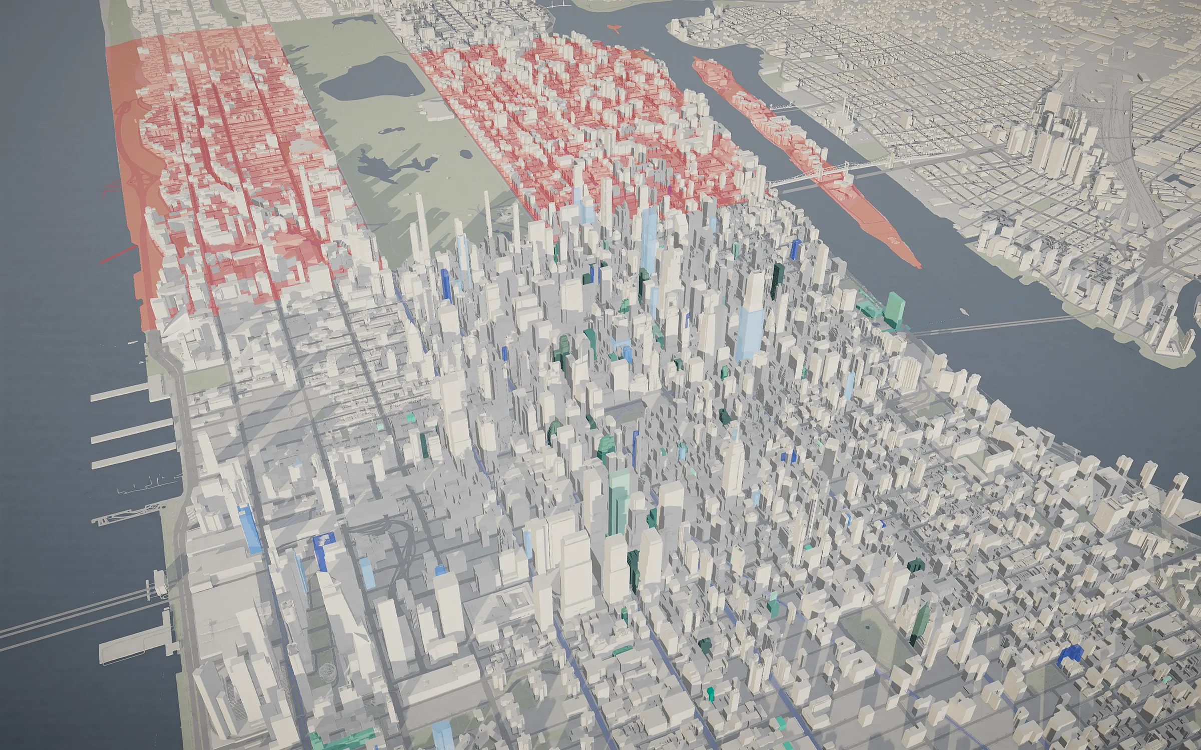
New York today.
Austin and Denver too.
A city is built from open data: footprints and heights for the whole metro, streets, water and terrain, with lots and zoning where the city publishes them. Yours can be next.
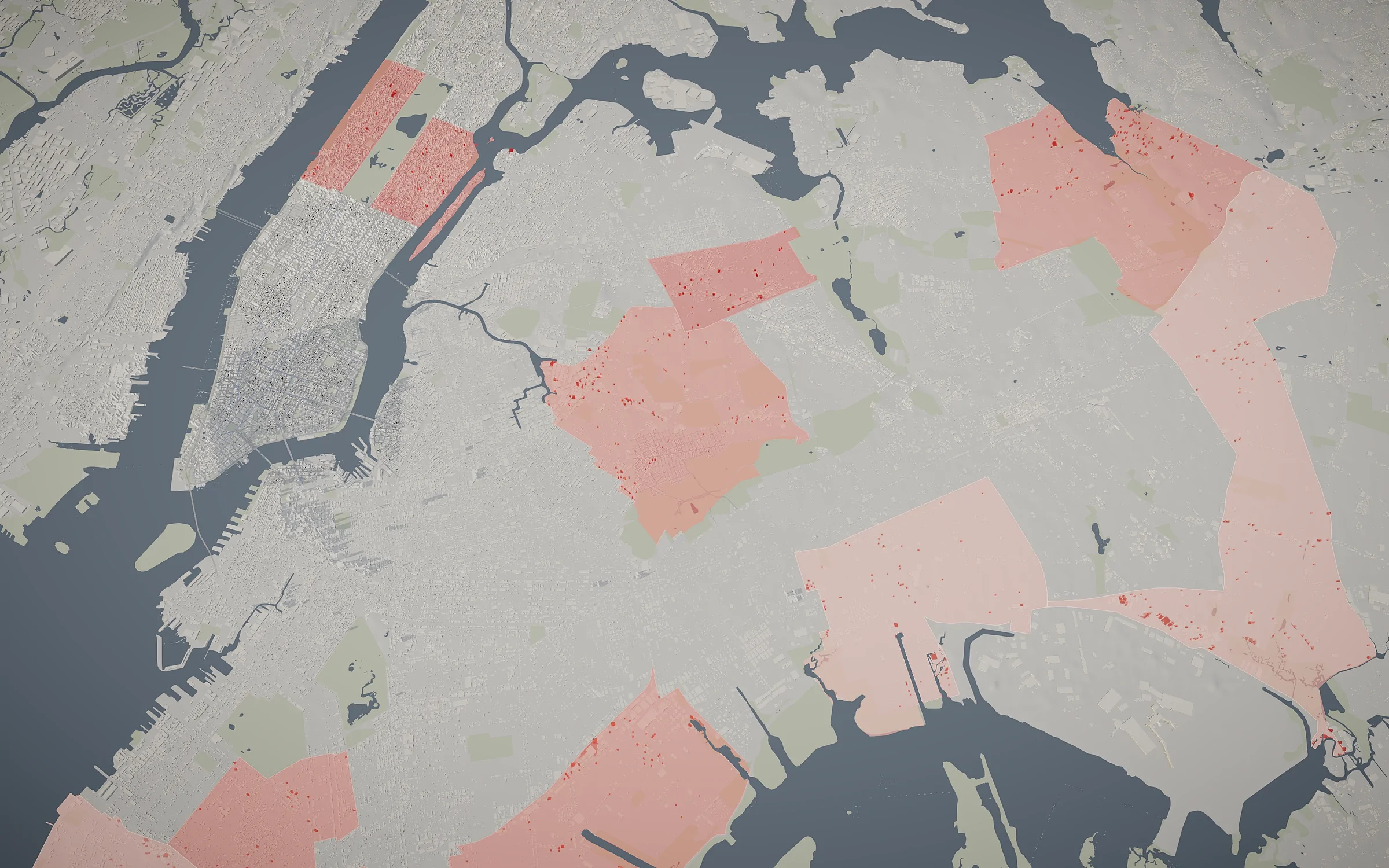
12 districts, one fast track.
From January 2027, rezonings for housing in 12 community districts get a 90-day review. We put the 12 on the model, with every privately owned vacant lot and parking lot of 5,000 sf or more inside them.
- 12districts
- 1,978lots
How working with us goes.
This week, a 30‑minute call
Tell us the sites, the book or the districts you care about. We walk through them on the model, live.
Within days, your data on the model
Your sites, listings or plans on your city, in your look, behind a private link.
Then, your team in the file
Everyone you invite works in the same model: cursors, comments and slides that stay live.
See your site on the model.
Thirty minutes on a call, on the real city. Bring an address, a listing or a district; we’ll put it on the model while we talk.
Book a call